
Start
Mapping.
Your Data. Visualized. Simplified.
Turnkey GIS Platforms for Real-World Operations
Maps, dashboards, mobile forms, and analytics — fully built, industry-ready, and deployable without an in-house GIS team.
The Problem Summit Mapping Solves
Most organizations can benefit or need mapping, field data collection, and real-time reporting —
but don’t have the GIS staff, time, or budget to build and maintain complex systems.
Summit Mapping delivers complete, ready-to-use GIS platforms that handle your workflows from the field to the office.
What You Get in Every Platform
A fully supported, cloud-hosted GIS system that includes:
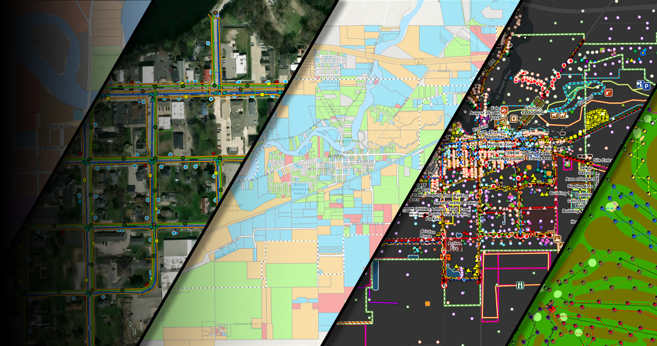
- Interactive Maps — purpose-built visualizations tailored to your assets and workflows
- Mobile Data Collection — field-ready forms to capture GIS data and more
- Dashboards & Analytics — real-time insights, reporting, and decision-making tools
- Survey Tools — collect customer input, inspections, compliance reports, and more
- Structured GIS Storage — a reliable, secure data environment for your organization
- User Access Controls — for staff, clients, or the general public
- Custom Branding & Setup — your logo, your workflows, your operational reality
No GIS department required. No generic templates. No long development cycles. Just a system that works.
Industry-Ready Platforms
Each link opens a page which gives you access to live, interactive platforms, maps, and videos you can explore.
Events & Guest Mapping
For planners creating guided, real-time mapping experiences for weddings and events.
[Open Page →]
Natural & Cultural Resource Science
For curators, researchers, archaeologists, conservationists & scientists managing records and field data.
[Open Page →]
Operations & Customer Analytics
For organizations and teams streamlining field operations, inspections, and customer feedback with live interactive maps, dashboards, and digital forms.
[Open Page →]
Outdoor Experience Platform
For RV, outdoor recreation, and adventure companies that want to give customers a personalized mapping journey.
[Open Page →]
Real Estate Intelligence
For agents and brokers who want interactive maps, dashboards, and forms for clients and property workflows.
[Open Page →]
Travel Mapping Platform
For travel agencies and tour operators that want to showcase itineraries, routes, and destinations.
[Open Page →]
Utilities & Community Platform
For cities, townships, districts, and utilities managing infrastructure, inspections, and field operations.
[Open Page →]
Why Teams Choose Summit Mapping
Fast Deployment
Platforms delivered in days—not months.
No GIS Team Required
We handle setup, hosting, configuration, and ongoing support.
Built for Real-World Workflows
Not generic templates — each platform is tailored to how your people actually work.
Affordable, Scalable, and Supported
Designed for small teams up to full municipal departments.
Secure Cloud Hosting
Reliable geospatial infrastructure with controlled access for staff or the public.
How It Works
1. Tell us your workflows
Assets, forms, dashboards, maps — what you need to track and manage.
2. We build your platform
Tailored GIS layers, data structure, dashboards, and tools.
3. You deploy instantly
Your staff gets instant access with zero GIS overhead.
4. We maintain and support it
Hosting, updates, and improvements — all handled for you.
