Community Mapping
Community Maps is a growing collection of free, interactive maps designed to help people explore their communities with better accuracy and real-time local insights. Each map combines reliable GIS technology with user-generated updates, offering a smarter way to find information that traditional mapping tools often overlook.
Every Community Map includes a public notes feature where users can share updates, recommendations, and location-specific details. Whether you’re looking for outdoor recreation spots, local amenities, or specialized route maps, these tools are built to make navigation easier and more informative.
New maps and regions are added regularly based on community interest.
All maps are free to access, and optional $1/month support helps maintain hosting, licensing, and ongoing improvements..
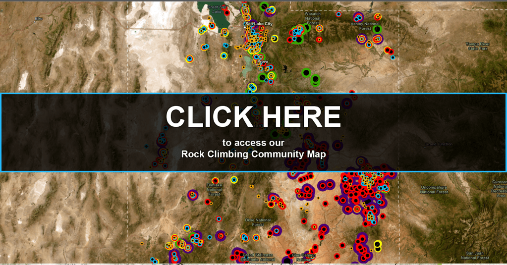
Rock Climbing | Community Map
The Rock Climbing Community Map is a free, interactive climbing map designed to help rock climbers discover routes, crags, and climbing areas with detailed, easy-to-use GIS-based tools. The map currently features climbing locations throughout Utah, with more states and regions coming soon.
Built for climbers who want better mapping tools than those offered by traditional guidebooks or apps, this resource provides clear visuals, organized route information, and real-time community updates. Through the Community Notes feature, climbers can share access changes, trail conditions, route suggestions, closures, and helpful tips for others planning their next climb.
Whether you’re a beginner or an experienced climber, this map makes it easier to explore new routes and stay informed.